Island-on-Map.com The Free Beach Guide HomeCountriesMenu

Prince Edward Island

Ultimate guide (April 2024)
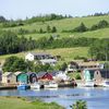
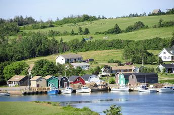
Prince Edward Island - island in eastern Canada. It is believed that best beaches of the country are located here. In addition, there is a very beautiful nature. Beach and seabed: sand, stones. [edit]
This island ranks #4 of the "Best islands in North America"
Rating: 7.3 - 375 votes [vote]
Coordinates: 46.379606, -63.246467
See also: Best beaches in Prince Edward Island

Hotels [edit]

Tourist infrastructure of the island is excellent. There are many hotels, and in general they are quite inexpensive.

How to get there [edit]

Fly to Prince Edward Island airport (YYG). Next hire a taxi.

When to go [edit]

Any time of the year. If you are interested in a beach holiday, it is best to go in July-September.

Rainfall, mm
Rainfall, mm

Water temperature, C

Temperature, C
Temperature, C

Humidity, %
Humidity, %

Wind speed, meter/sec

Open map

See also other islands nearby:

 
USA, Long Island, Jones Beach 6.7
1010 km to the south-west
Location: North America, USA
Rating: 6.7 (668 votes)
Bermuda, Jobson's Cove beach 8.5
1570 km to the south
Location: North America
Rating: 8.5 (312 votes)
Bahamas, Abaco Islands, Gillam Bay beach 8.0
2520 km to the south-west
Location: Caribbean, Bahamas
Rating: 8.0 (628 votes)
Grand Bahama island, Taino beach 8.1
2570 km to the south-west
Location: Caribbean, Bahamas
Rating: 8.1 (758 votes)
Bahamas, Eleuthera island, Lighthouse beach 8.6
2630 km to the south-west
Location: Caribbean, Bahamas
Rating: 8.6 (703 votes)
💖
If you liked this page, please share it on: Facebook, Twitter, Instagram
…or any other web-site
 
This will help the project greatly!

 
To the top of this page »
 
© 2024, Island-on-Map.com · Menu