Island-on-Map.com The Free Beach Guide HomeCountriesMenu

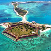
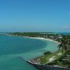
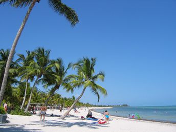
Florida Keys islands (Key West)

Ultimate guide (April 2024)
Florida Keys (Key West) - islands in South Florida with the best beaches in the U.S. Beach and seabed: sand, coral chips. [edit]
This island ranks #2 of the "Best islands in North America"
Rating: 8.4 - 638 votes [vote]
Coordinates: 24.553603, -81.792111
See also: Best beaches in the Florida Keys (Key West)

Hotels [edit]

Hotels on the islands are about 1.5 - 2 times more expensive than on the continent. Those who want to save some money can live in a tent in one of the numerous campgrounds.

How to get there [edit]

Fly to Key West International Airport (EYW). You may also fly to Miami or to Fort Lauderdale, and next get by car.

When to go [edit]

Any time of year, but in winter the water is pretty cool.

Rainfall, mm
Rainfall, mm

Water temperature, C

Temperature, C
Temperature, C

Humidity, %
Humidity, %

Wind speed, meter/sec

Open map

See also other islands nearby:

 
Bahamas, Bimini Islands, Alice Town beach 8.6
290 km to the north-east
Location: Caribbean, Bahamas
Rating: 8.6 (24 votes)
Cuba island, Varadero City beach 9.0
370 km to the south-east
Location: Caribbean
Rating: 9.0 (411 votes)
Grand Bahama island, Taino beach 8.1
410 km to the north-east
Location: Caribbean, Bahamas
Rating: 8.1 (758 votes)
Bahamas, Nassau island, Old Fort Bay beach 8.4
450 km to the east
Location: Caribbean, Bahamas
Rating: 8.4 (316 votes)
Bahamas, Abaco Islands, Gillam Bay beach 8.0
510 km to the north-east
Location: Caribbean, Bahamas
Rating: 8.0 (628 votes)
💖
If you liked this page, please share it on: Facebook, Twitter, Instagram
…or any other web-site
 
This will help the project greatly!

 
To the top of this page »
 
© 2024, Island-on-Map.com · Menu