Island-on-Map.com The Free Beach Guide HomeCountriesMenu

Trinidad island

Ultimate guide (April 2024)
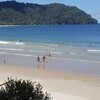
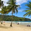
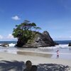
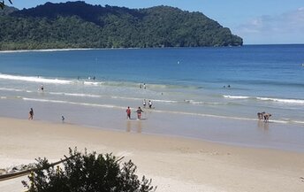
Trinidad - the main island in the Caribbean country of Trinidad and Tobago. There are few nice beaches. But most of the tourists are going to the neighboring Tobago island in search of a tropical paradise. Shore and seabed: sand, stones. [edit]
This island ranks #2 of the "Best islands in Trinidad and Tobago"
Rating: 7.8 - 1004 votes [vote]
Coordinates: 10.430882, -61.395795
See also: Best beaches in Trinidad island

Hotels [edit]

Most hotels are in the capital city Port of Spain. In general, the price level is quite high, but you can find some cheap accommodation options.

How to get there [edit]

Fly to Trinidad international airport (POS). Next hire a taxi.

When to go [edit]

Best time to visit the island of Trinidad is a dry season from January to April.

Rainfall, mm
Rainfall, mm

Water temperature, C

Temperature, C
Temperature, C

Humidity, %
Humidity, %

Wind speed, meter/sec

Open map

See also other islands nearby:

 
Trinidad and Tobago, Tobago island, Arnos Vale beach 8.9
120 km to the north-east
Location: Caribbean, Trinidad and Tobago
Rating: 8.9 (1758 votes)
Venezuela, Isla de Coche island, San Pedro de Coche beach 8.2
280 km to the west
Location: South America, Venezuela
Rating: 8.2 (5 votes)
Venezuela, Margarita island, Playa de Pampatar beach 8.1
300 km to the west
Location: South America, Venezuela
Rating: 8.1 (698 votes)
Barbados island, Bathsheba beach 8.6
370 km to the north-east
Location: Caribbean
Rating: 8.6 (469 votes)
Dominica island, Batibou Bay beach 8.1
560 km to the north
Location: Caribbean
Rating: 8.1 (291 votes)
💖
If you liked this page, please share it on: Facebook, Twitter, Instagram
…or any other web-site
 
This will help the project greatly!

 
To the top of this page »
 
© 2024, Island-on-Map.com · Menu